Visual technology that turns real spaces into memorable digital experiences.
AeroVisio Solutions combines 360° virtual tours, Google Street View, drone imaging, immersive photography and smart visual systems to help businesses present their spaces with clarity, confidence and impact.
Built from technology, visual creativity and real-world experience.
AeroVisio Solutions was created to help businesses show their spaces in a more modern, immersive and professional way.
A brand designed for the future of visual presentation.
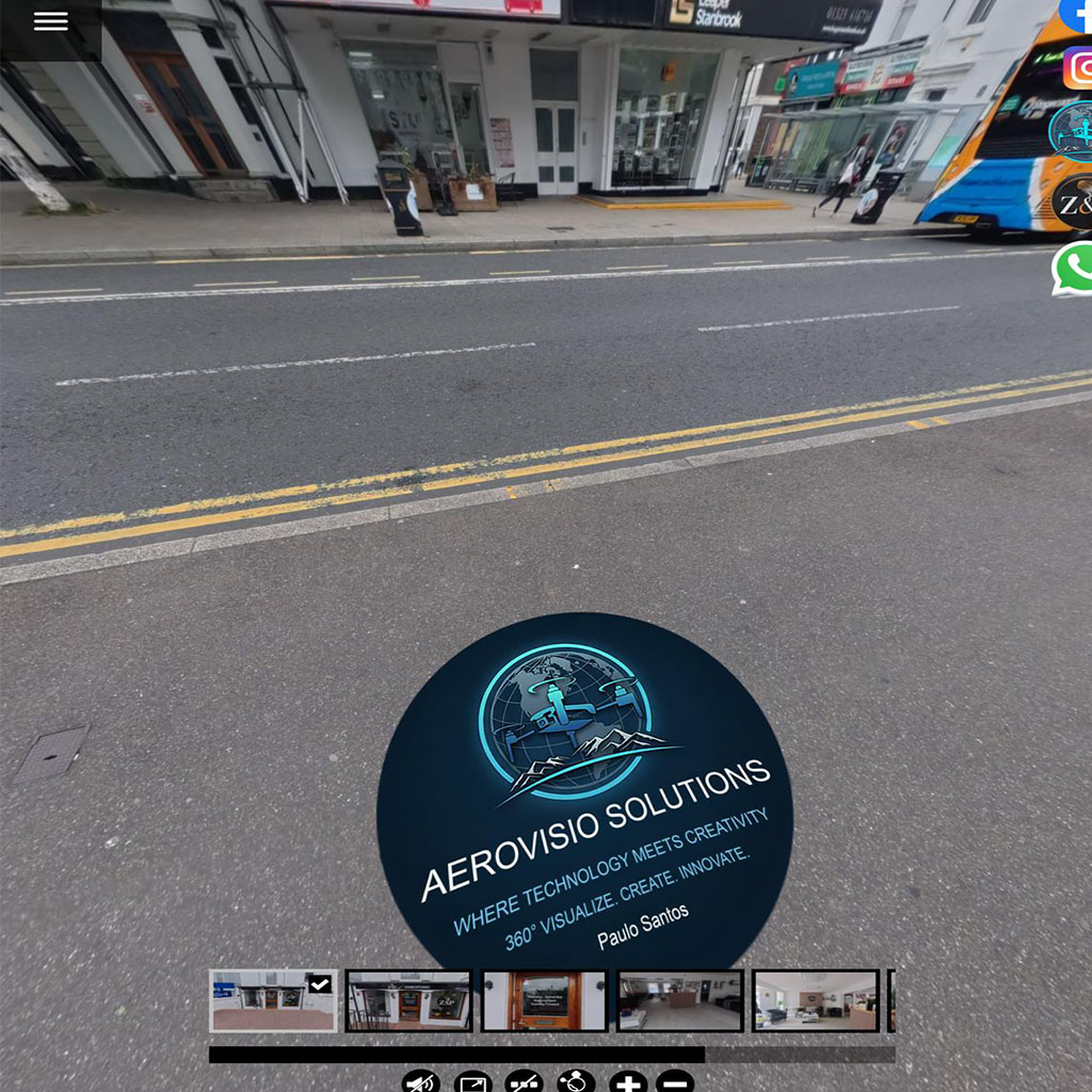
Founded by Paulo Santos in 2025, AeroVisio Solutions was born from a passion for drone imaging, 360° environments, multimedia, technology and digital innovation.
The mission is simple: help companies, local businesses and tourism spaces communicate better through immersive visual experiences.
Every project is created with a focus on presentation, trust, navigation, visual impact and commercial value.
What AeroVisio Solutions does
Premium visual solutions for businesses that want to stand out, create confidence and present their spaces more effectively.
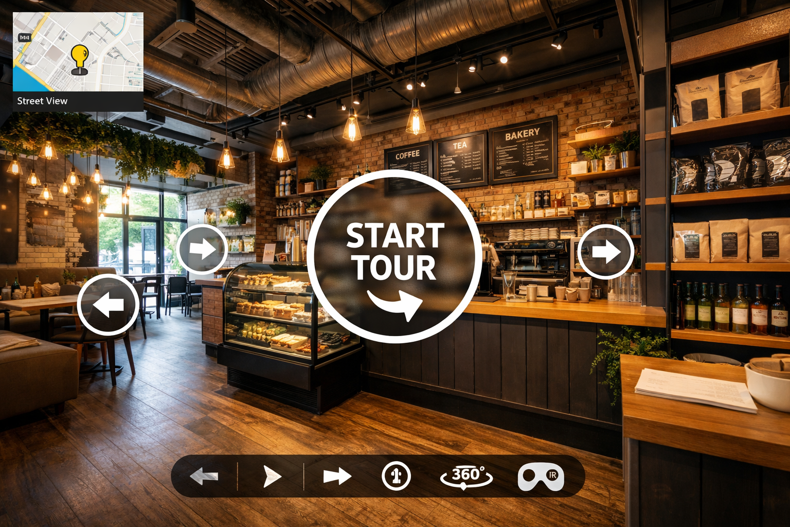
Immersive space exploration
Interactive experiences for hotels, restaurants, clinics, real estate, tourism, industry and commercial spaces.
More visibility and trust
Integration with Google Maps to help customers explore your business before visiting in person.
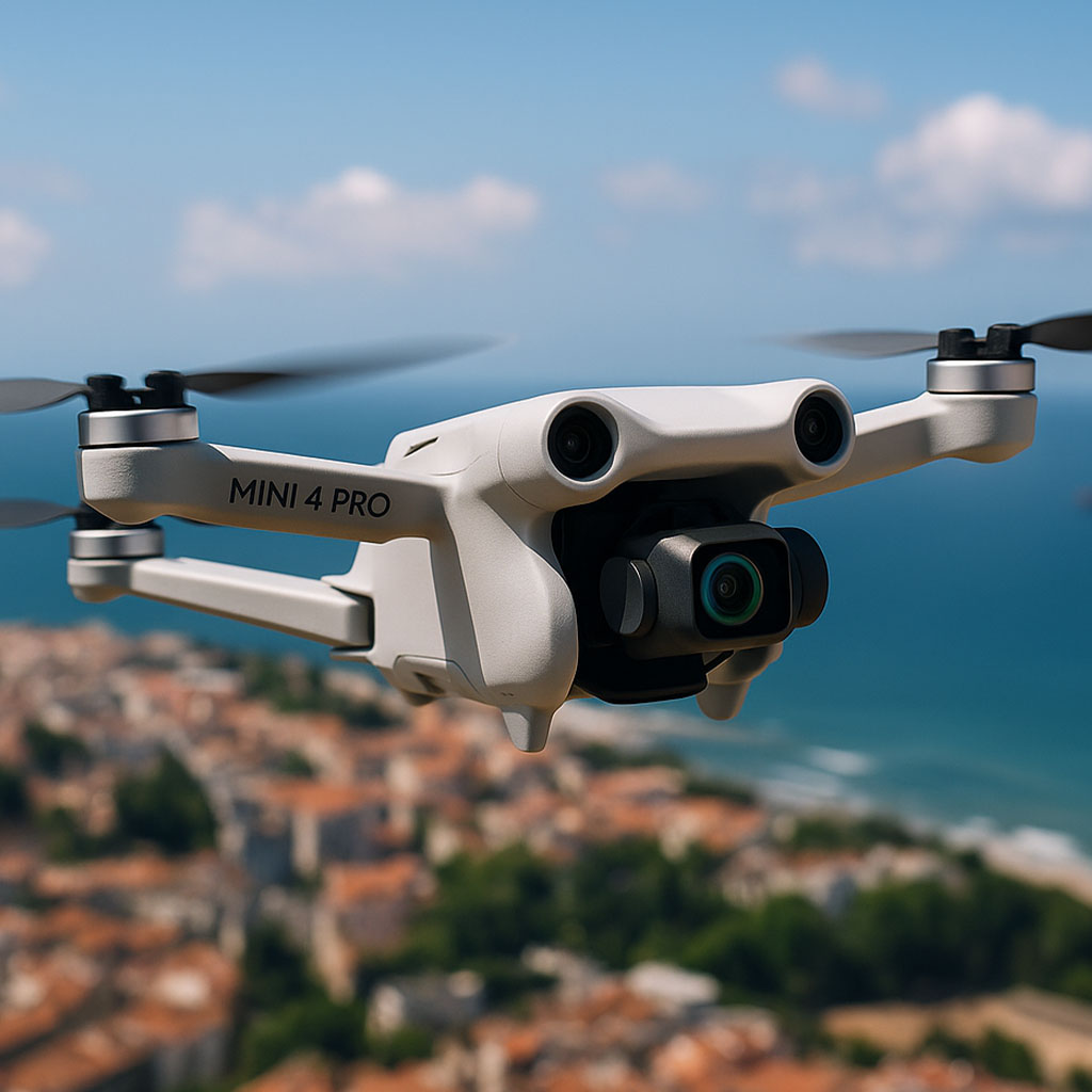
Premium aerial perspective
Professional aerial capture for marketing, inspections, tourism, industrial presentation and visual storytelling.
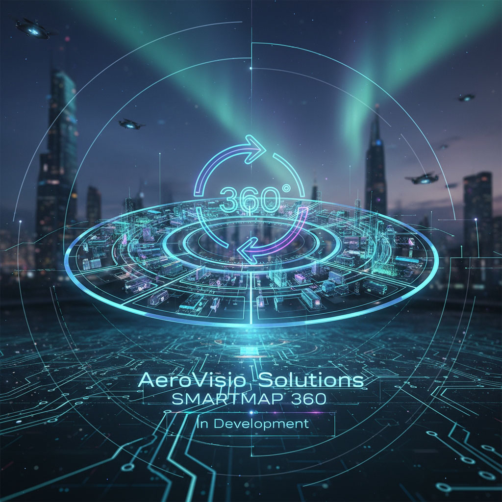
The future of visual navigation starts here.
AeroVisio Solutions is developing the SMARTMAP 360° concept: a visual navigation solution designed for interactive maps, Digital Twin, intelligent navigation and immersive experiences.
- Custom interactive maps
- Visual navigation inside spaces
- Future integration with 360° tours
- Designed for hotels, tourism, industry and public spaces
Technologies in development
AeroVisio Solutions is evolving beyond 360° tours, creating new ways to explore, guide and communicate real spaces.
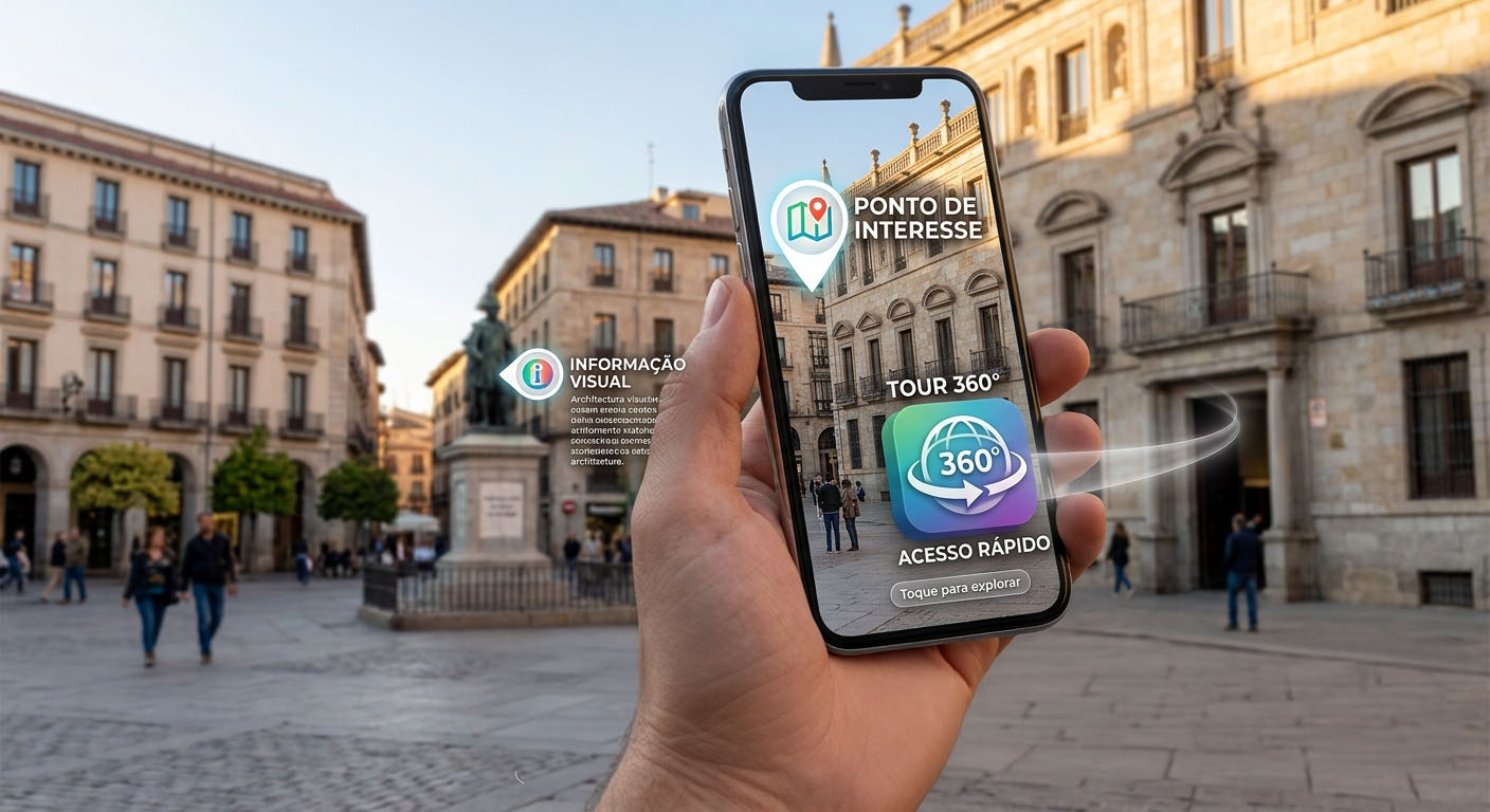
AeroVisio AR
Augmented reality experiences to present points of interest, visual information and quick access to 360° tours directly on mobile devices.
Intelligent visual navigation
A system designed for hotels, rural tourism, clinics, factories and spaces where visitors need simple and interactive visual guidance.
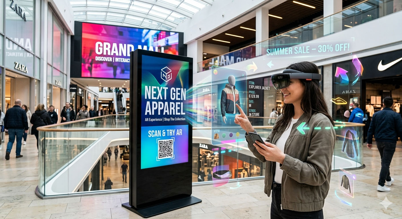
Dynamic content for physical spaces
Future solutions to present menus, promotions, videos, information, CCTV and digital content on screens for hotels, restaurants and companies.
Our values
AeroVisio Solutions is built around clarity, innovation, trust and premium visual quality.
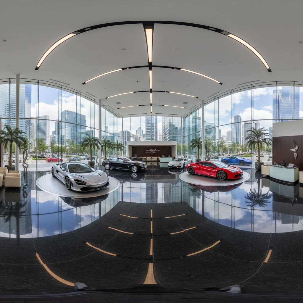
AeroVisio visual experience
A glimpse of how aerial vision, 360° tours and immersive media can transform the way a space is presented.
Who we help
AeroVisio Solutions works with businesses and spaces that want a stronger, clearer and more immersive digital presentation.
Ready to present your space in a more professional way?
AeroVisio Solutions helps businesses turn real spaces into modern, immersive and high-impact digital experiences.