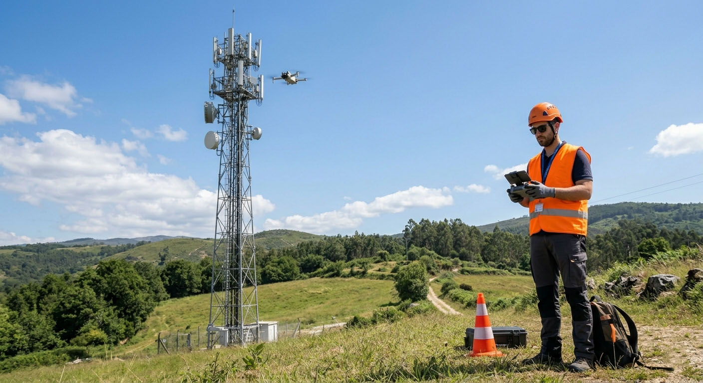
Towers & antennas
Document antenna arrays, visible components, mounts and structural areas from useful viewpoints.
High-resolution aerial inspection for telecom towers, antennas, rooftops, masts and technical equipment—captured safely and delivered as clear visual evidence.
Drone inspection provides organised visual evidence from elevated and difficult-access areas without unnecessary exposure or heavy access equipment.
Document antenna arrays, visible components, mounts and structural areas from useful viewpoints.

Inspect elevated installations and surrounding access conditions with minimal disruption.
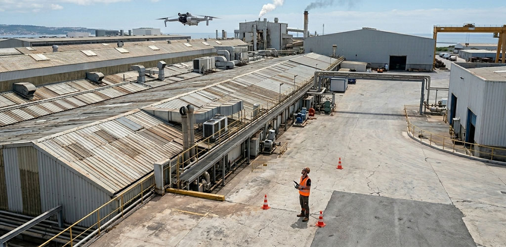
Capture visible routes, enclosures and technical equipment for review and planning.
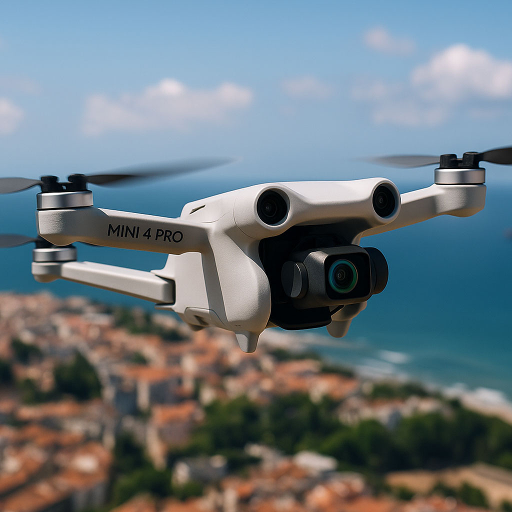
Receive clear photography and video ready for assessment, reporting and stakeholder communication.
Aerial capture supports early assessment, maintenance planning and technical communication while keeping the initial inspection efficient.
Every project is planned around the site, airspace, access, safety and the visual material required.
We define the structure, concern and evidence required.
We assess location, restrictions, weather and operational constraints.
We collect organised imagery and video from useful viewpoints.
You receive structured files ready for review and reporting.
A practical service for operators, installers, maintenance teams, contractors and technical stakeholders.
Reduce unnecessary exposure to elevated or difficult-access areas.
Capture visual information without lengthy access preparation.
High-resolution records support technical review and communication.
Combine aerial imagery with 360° and SMARTMAP concepts for richer site understanding.